|
Remote Sensing Vol. 31 No. 1, March 2003 |
 |
|
|
Authors | Title of the Paper | Pages |
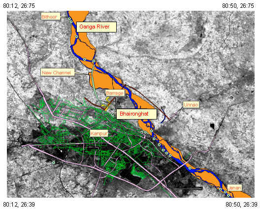
| 1 | Netramani Harijan, Arun Kumar, Sanjeeb Bhoi and Vinod Tare | Course of River Ganga Over a Century Near Kanpur City Based on Remote Sensing Data | 1-2 |
|
|
T. P. Singh, Sarnam Singh and P. S. Roy | Assessing Jhum – Induced Forest Loss in Dibang
Valley,
Arunachal Himalayas – A Remote Sensing Perspective |
3-10 |
|
|
Pankaj Mani, Rakesh Kumar and C. Chatterjee | Erosion Study of a Part of Majuli River-Island using Remote Sensing Data | 11-18 |
|
|
Anjum Mahtab, B. Narender and Ajai | Satellite Derived Digital Elevation Model and
Terrain Parameters
–Generation, Accuracy Assessment and Validation |
19-24 |
|
|
S. K. Nag and Surajit Chakraborty | Influence of Rock Types and Structures in the Development of Drainage Network in Hard Rock Area | 25-36 |
|
|
V. Jothiprakash, G. Marimuthu, R. Muralidharan and N. Senthilkumar | Delineation of Potential Zones for Artificial Recharge Using GIS | 37-48 |
|
|
I. J. Singh, K. K. Das and S. P. S. Kushwaha | Forest Stock Assessment Using IRS LISS III PAN Merged Data in Timli Forest Range, Dehradun | 49-56 |
| 8 | Chandranath Chatterjee, Rakesh Kumar and Pankaj Mani | Delineation of Surface Waterlogged areas in Parts of Bihar Using IRS-1C LISS III Data | 57-65 |