|
Satellite Imaging for Rail Navigation (SIMRAN) |
 |
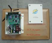
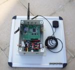
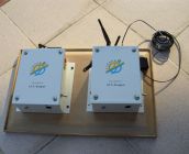
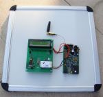
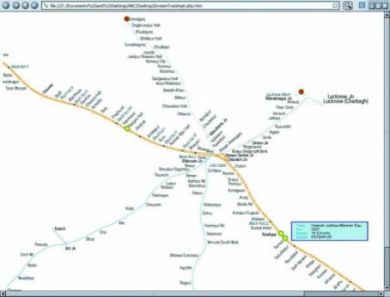
The objective of this project is to (i) develop an effective way to collect and disseminate information dynamically of every train in a given geographical boundary for its location, speed and direction of movement, (ii) ensure better and selective dissemination of information to passengers. Train tracking system using Global Positioning System (GPS) is being developed. Each train will have a train locator unit to receive information from GPS satellites and continuously identify the position of the train with information about its location (latitude and longitude values). GSM is to be used for connectivity and wherever needed as an alternate location identifier. The data logger can also be used to provide services for a central train enquiry system, anti- collision device, train charting etc.
|
|
|
 |
Station Device |
Train Device |
|
|
Station and Train Device |
SMS Logger |
Screenshot of Train Tracking |
Project Team |
|