|
School from 31 March
to 4 April 2008

 Home
Home
About School
For Participants
Instructors
Financial Support
Downloads
Contact Details
LiDAR AT IITK
Reaching IITK
Last
date of
application:
20 January 2008
Confirmation of|
selection and financial
support:
30 January 2008
Confirmation of
acceptance and fee:
10 February 2008
|
|
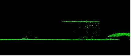
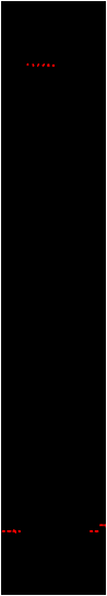
Airborne Altimetric LiDAR, also known as laser altimetry
or laser mapping, has become an industry standard tool
for collecting high-resolution topographic data
accurately and efficiently. LiDAR offers several
advantages over conventional techniques of
topographic data collection and is complementing and
also replacing the latter in several application areas
where topographic data is basic requirement. The unique characteristics of LiDAR data have also opened up
several new applications which were deemed not feasible
hitherto with conventional techniques. This site
contains information about the International School on
LiDAR technology which is being conducted at IIT Kanpur,
India from 31 March to 4 April 2008.
-
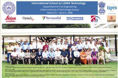
LiDAR School inaugurated by Professor S. G.
Dhande, Director IIT Kanpur on 31 March 08
IIT
Kanpur MAP
List of
selected participants

Copyright Dr.Bharat Lohani, IIT Kanpur.
Designed and
developed by R K Mishra, IIT Kanpur
|
|


 |