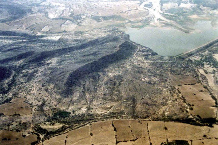
Active fault trace on the right bank of Kaswali River, East of Lodai village. The fault has displaced fan surface resulting into north facing fault scarp. Veiw looking south.
Active fault displacing and warping the alluvial fan surface of Jawaharnagar. View looking south
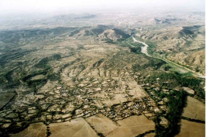
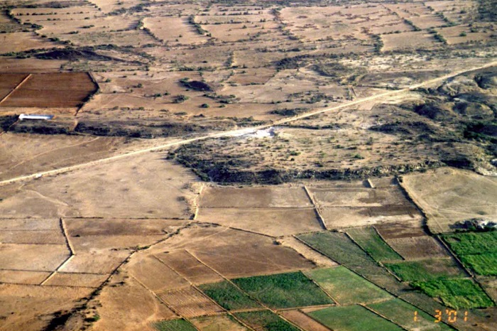
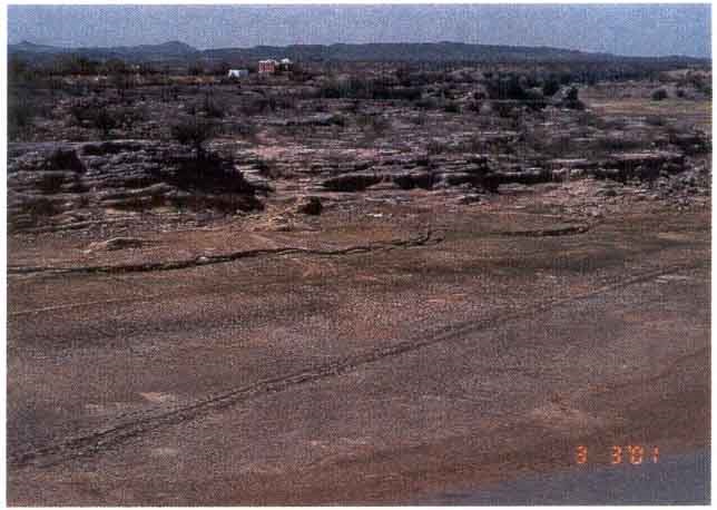
E-W trending active fault trace (?) cutting through the colluvial debris in the peidmont zone along the Katrol hill range north of Hamadra talai.
Eastern extension of active fault trace aligned along the range front at Satpura Dungar cutting colluvial debris near Ler village.
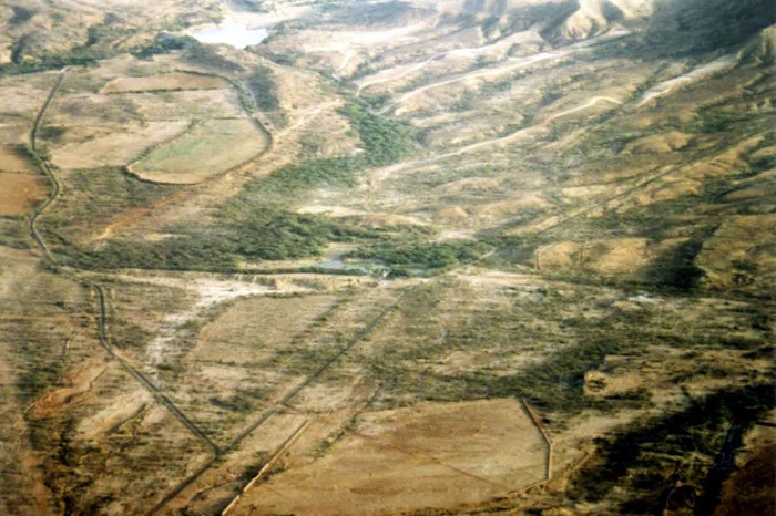
Expression flat rocky surface with thin colluvial material cover showing sharp straight contact with the alluvial, view looking to the south. The location between Ler and Ratnal.
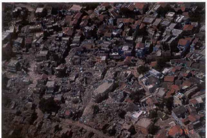
Aerial veiw of damage at Anjar. Note only the centre of the town is affected by the earthquake
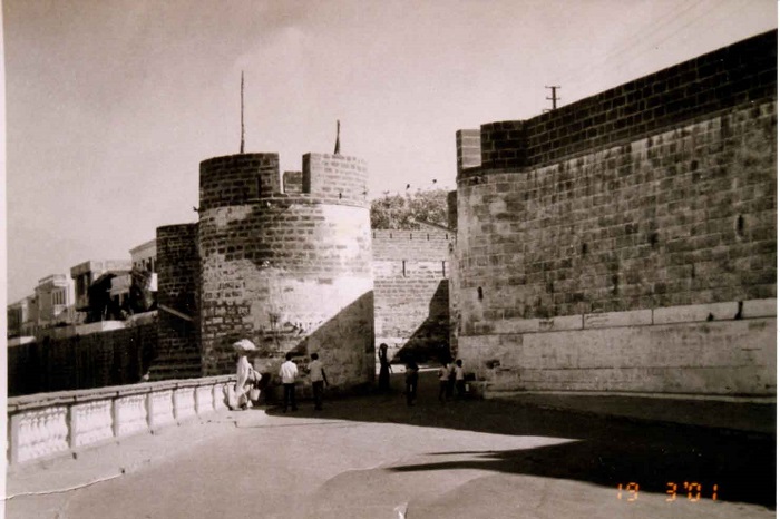
Alampana fort after earthquake
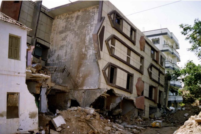
View of the collapsed reinforced concrete building tilted during the earthquake
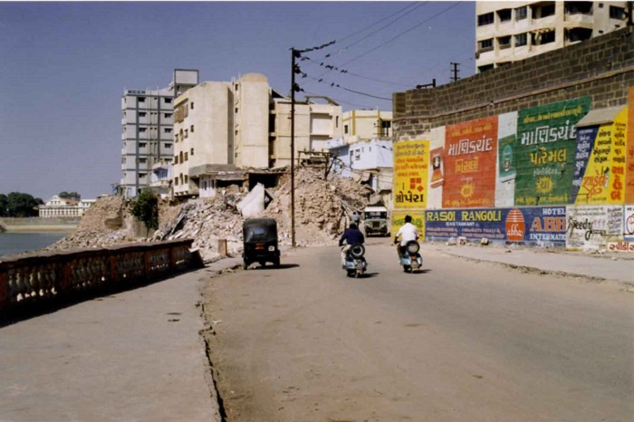
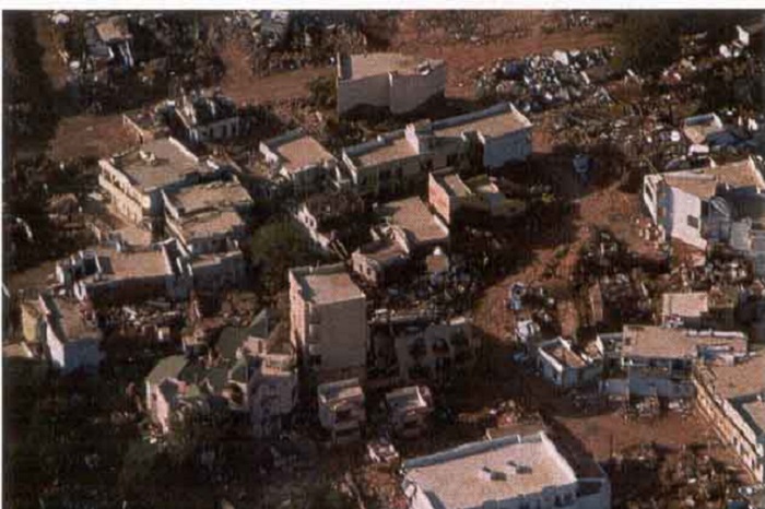
Aerial view of destruction at Bhachau
Liquefaction associated with lateral spreading resulting in the formation of depression of 1-1.5m in diameter. Location at Budharmora
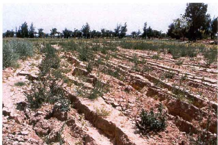
Lateral spreading resulted in the development of sub parallel extensional cracks or normal faults with downthrow due to north.
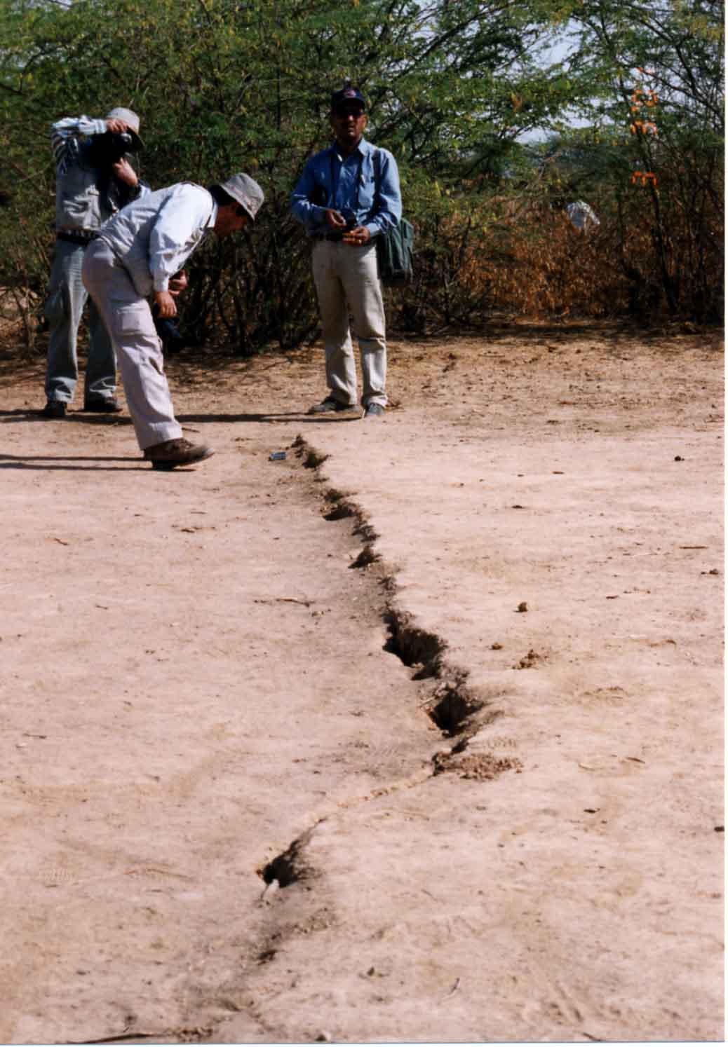
N-S striking extension surface cracks at Umedpur in Banni plains.
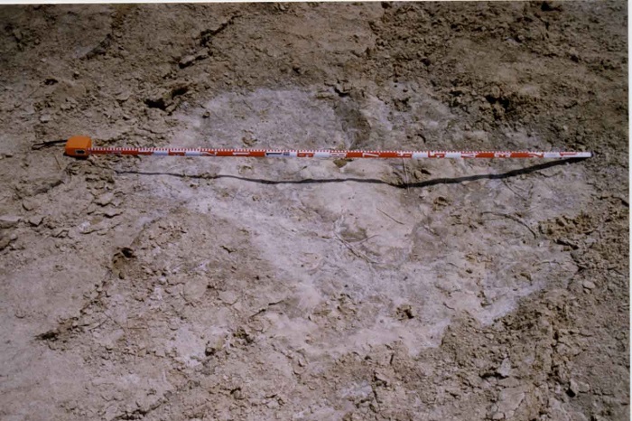
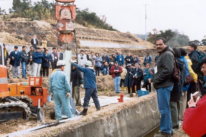
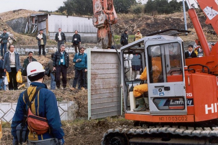
Measuring the river offset
Beautiful rainbow on Pangong Lake
Measuring the river offset
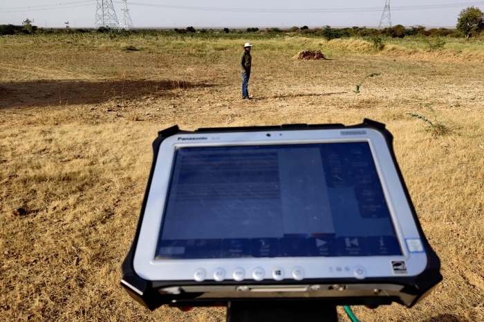
Sub surface investigation in Ladakh
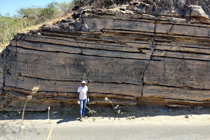
Shale Outcrops in Ladakh Field
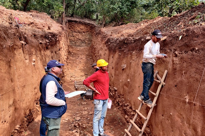
Trenching Across the fault scarp in Himachal
Trenching along the Himalayan Frontal Thrust in Central Himalaya
Holi celebration in Field trip in Solan, Himachal on March, 2023
Zojila Pass
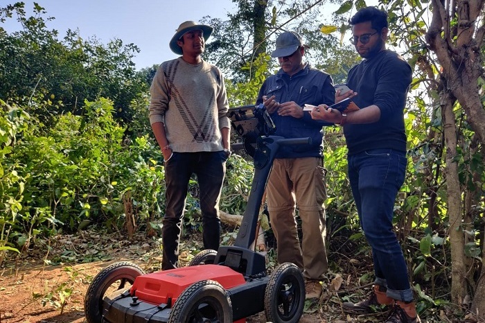
Drone Survey at archeological site Haryana
RTK survey at archeological site, Haryana
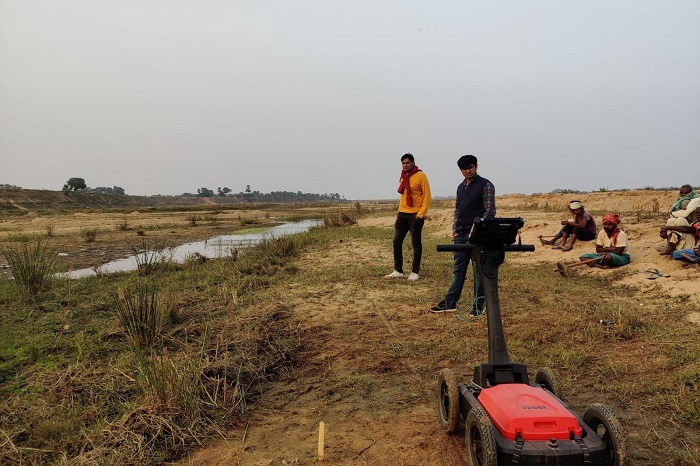
GPR survey at archeological site, Haryana
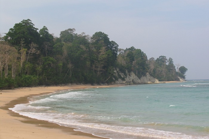
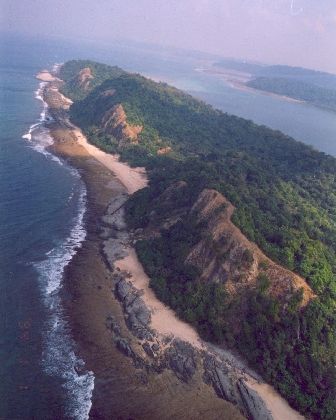
Andaman Island
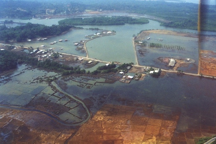
Aerial-view-Subsided-Sippyghat area due to 2004 Sumatra-Andaman Earthquake-Roads were elevated to avoid submergence
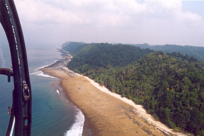
Uplift of west coast by 2004 Sumatra-Andaman earthquake
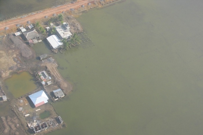
Inundation due to subsidence around Port Blair 2004
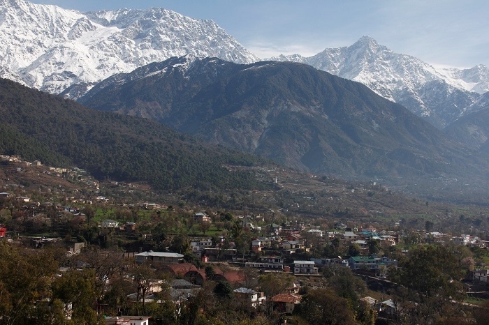
Dhauldhar Range and Kangra Valley
Kangra valley fault scarp
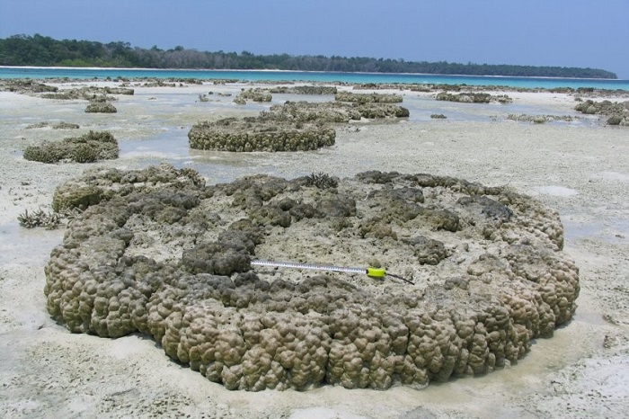
Emerged corals at North Reef Island
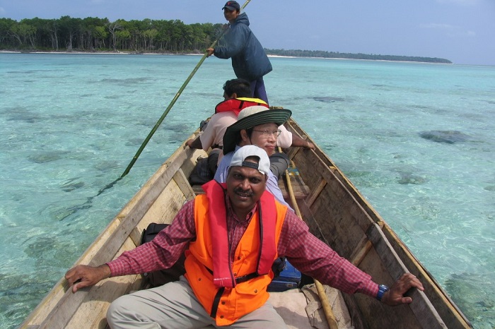
Boat ride at Andaman and Nicobar
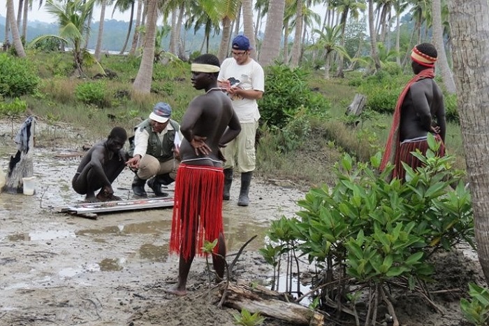
Educating Tribes of Andaman
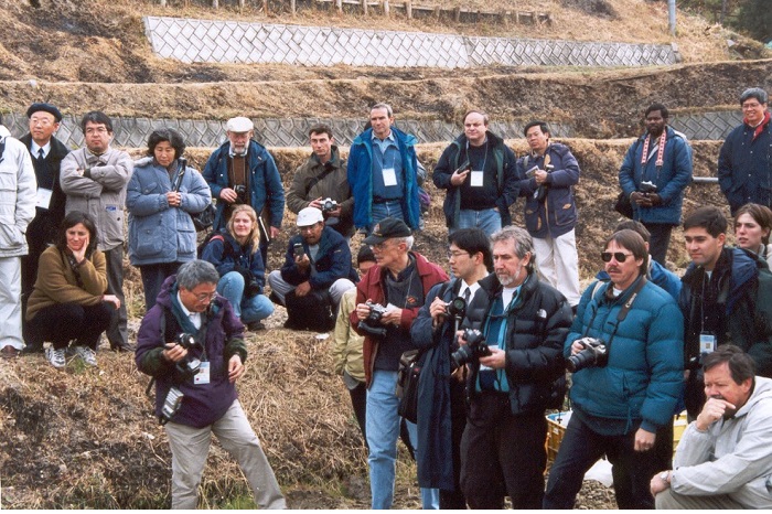
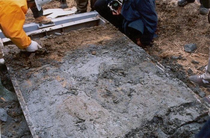
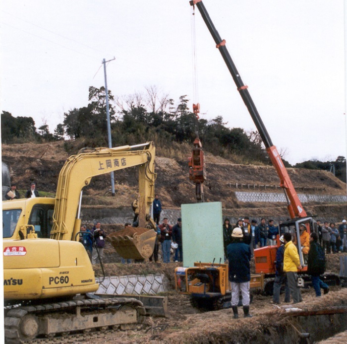
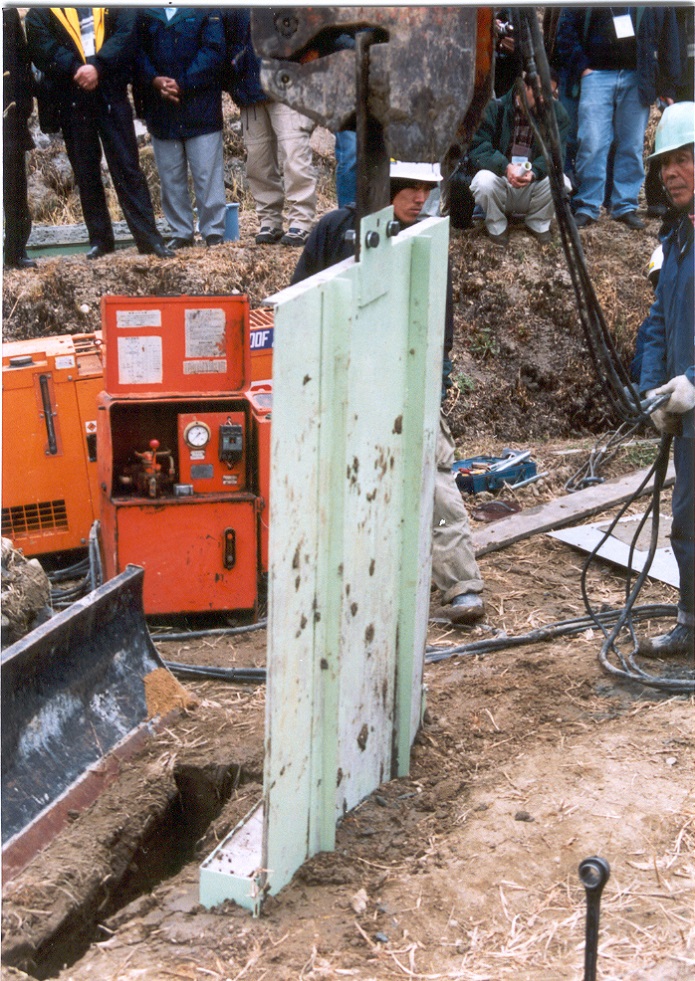
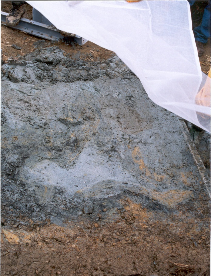
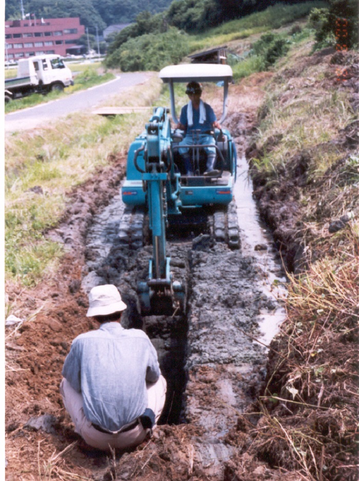
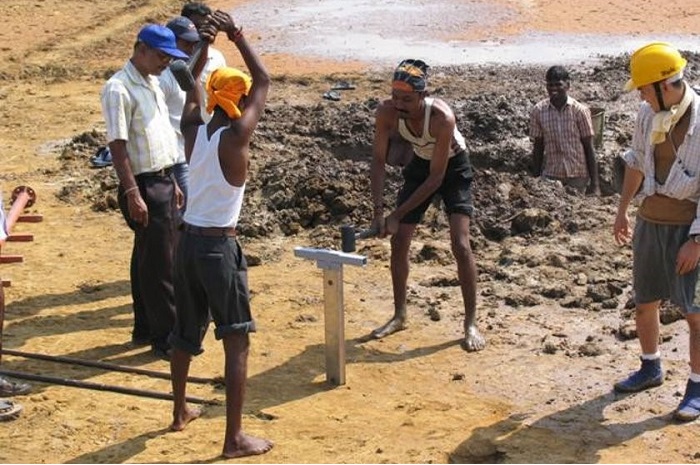
Geoslicing
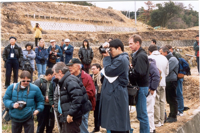
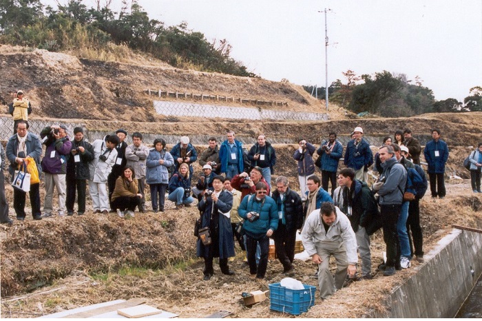
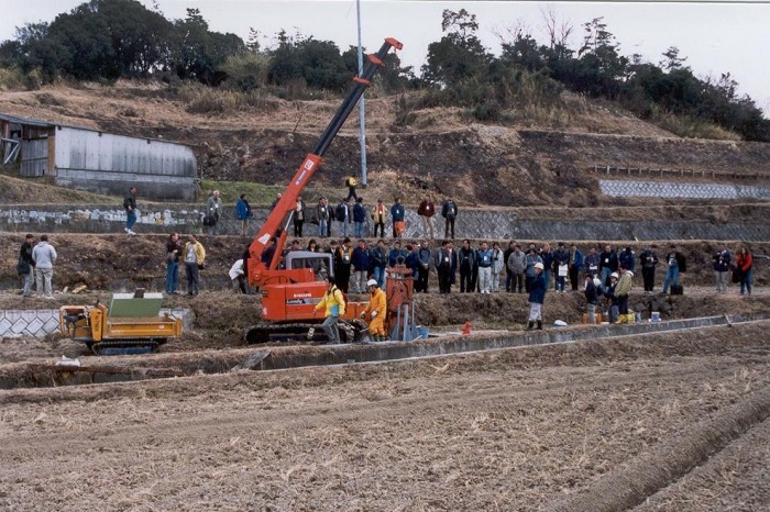
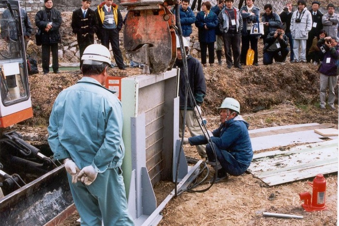
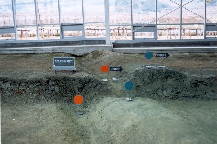
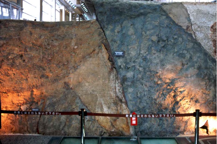
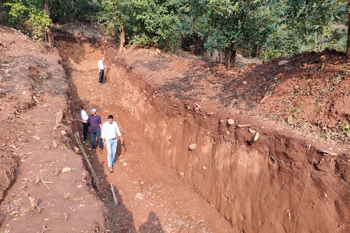
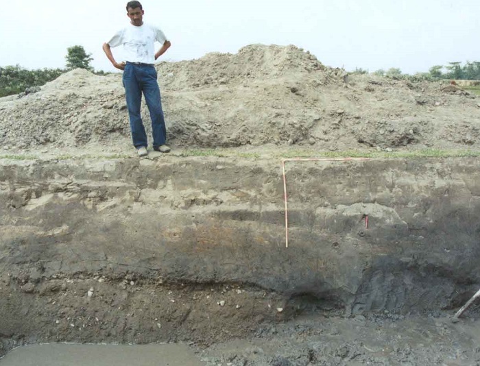
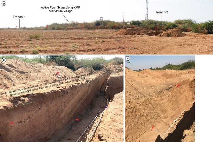
Trenching across Kachchh Mainland Fault at Jhura.
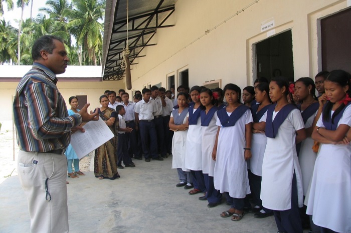
Educating Students
Earth Day 2024 talk at Woodbine Gardenia School, Kanpur
LEMON Project-INQUA 2023, Rome
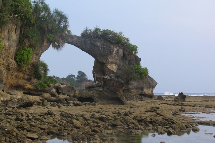
Sea-notches indicative of past sea-level along Andaman Island
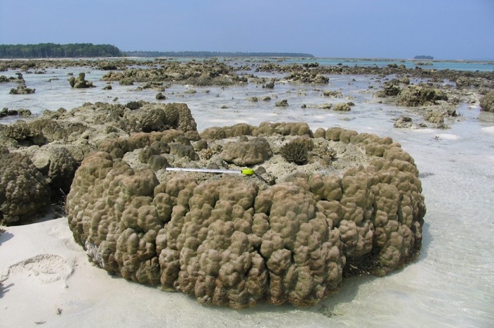
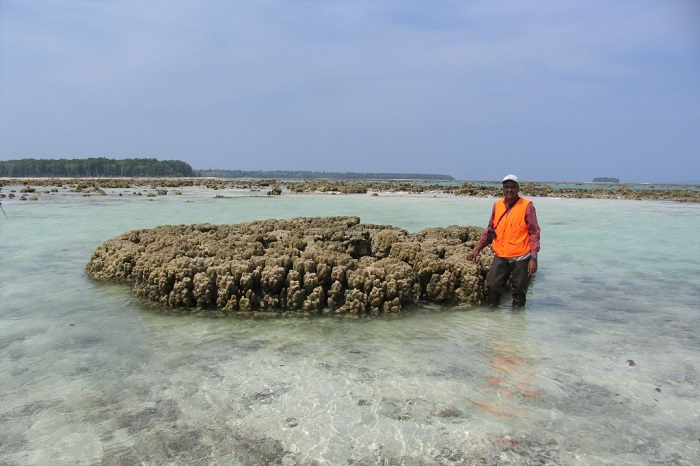
Coral microatolls emerge due to upliftment after earthquake
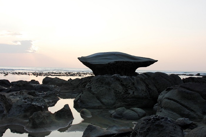
Sea Notch
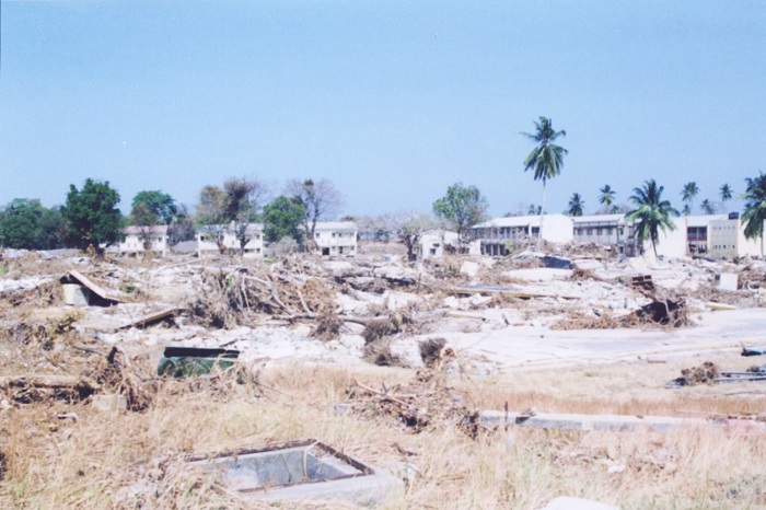
Devastation by 2004 tsunami at Car Nicobar
Coral microatoll
Uplift of west coast in South-Middle Andaman by 2004 Sumatra-Andaman earthquake